NCEP Model Time-Series (BUFR) Forecast Hourly Weather Data

NCEP Model Forecast Hourly Weather Data
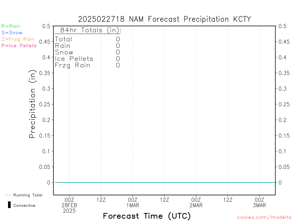
Here you will find hourly forecasts of weather conditions for over 100 cities. Check the left panel to choose a station/city, the variable to view, and the forecast model. The plot below is for the city having the greatest NAM-forecast precipitation in the next 84hr and is updated with each run.


Feel free to read the interesting history of these web pages: http://coolwx.com/history.php


CURRENT NAM Precipitation for CROSS CITY ARPT (ASOS) FL (KCTY)
Location: 29.62N 83.10W
COOLWX HOME

MODEL TIMESERIES HOME


OTHER COOLWX PAGES
    Coolwx Hit Images
    Extreme Weather
    Global Forecasts
    Hourly Model Forecasts
    Mesoscale Analysis
    Obs. Weather Database
    Offshore Weather Data
    Precipitation Type
    Record Breakers
    U.S. Weather Statistics
PLOTS for KCTY:
   2-Meter Temp/Dewp/RH
   Precipitation
   Precipitation Comparison
   Precip. Comparison (Zoomed)
   Temperature (Full)
   Temperature (Lower)
   Relative Humidity
   Potential Temperature
   Equiv. Potential Temperature
   Wind Barb Profile (Full)
   Wind Barb Profile (Lower)
   Omega (Full)
   Omega (Lower)
   Richardson Number
   Model Sounding SkewTs


JUMP TO A STATE/REGION:
USA:
    AK AL AR AZ CA CO CT DE
    FL GA HI IA ID IN IL KS KY
    LA MA MD ME MI MN MO
    MS MT NC ND NE NH NJ
    NM NV NY OH OK OR PA
    RI SC SD TN TX UT VA VT
    WA WI WV WY

CANADA:
    AB MB NB NF NS ON QB YK

INTERNATIONAL:
    BELGIUM
    ENGLAND
    FRANCE
    JAPAN
    MEXICO
    SPAIN

OFFSHORE:
   BUOYS


Jump to another current model:
   GFS    HRRR    NAM    NAM3KM


Jump to another NAM run:
    current
    2024092000
    2024091918
    2024091912
    2024091906
    2024091900
    2024091818
    2024091812
    2024091806
    2024091800


HELP/DOCS:
    rhart at fsu.edu